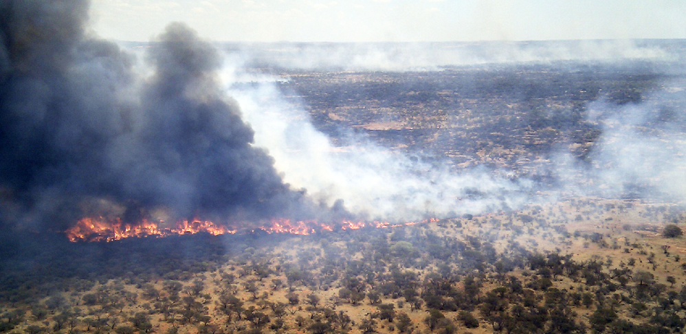
Aerial Bushfire Tracking System
Live aerial fire tracking giving ground fire crews the necessary information to make informed decisions with up to date feedback from helicopter or fixed wing aircraft
Benefits
-
Whilst flying the fire’s perimeter the pilot can mark relevant information on the cockpit mounted touch screen display as shown above and automatically download it to the ground crews by means of a touch screen display with software designed with relevant buttons specifically for bush fire fighting information collecting
-
A combination of Satellite and Mobile Phone communications allows fast updating of information from the aircraft to a central server
-
Ground crews have access to the central server using portable devices such as a Tablet or Laptop PC to see the information collected by the pilot
-
Information recorded by the system can be stored as GIS layers and then exported to be overlayed on existing systems
Features
- Location marking of assets such as buildings or people in imminent danger
- Accurate marking of fires “Leading Edge”and the fires perimeter
- System consists of industrial rated computer and touch screen
- Live position aircraft being used in system
- Local backup provided for support and future development
- Designed in WA for Australian conditions
- Many different GIS mapping formats can be displayed inside the server application to accomodate various different organisations requirements
- Outline of fire perimeter displayed showing fires leading edge and other selected information

